Photogrammetry / GIS

Our Solutions
Are you looking for reliable UAV services that specialize in photogrammetry and GIS solutions?
Company Presentation:
We are a reliable company providing high-quality aerial data collection and analysis to meet your business requirements.
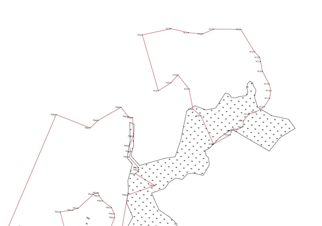
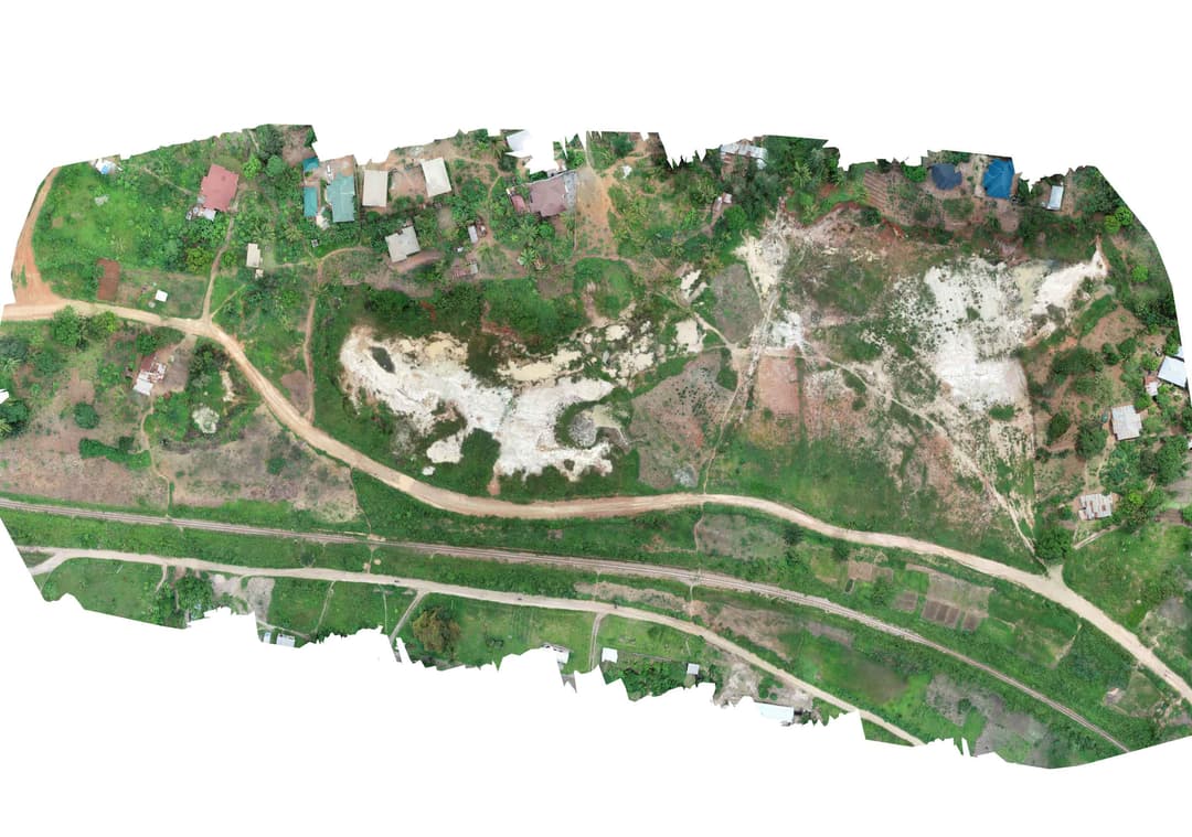
Mapping
Drones equipped with mapping technology are revolutionizing industries like agriculture, construction, and surveying.
Monitoring
From law enforcement agencies for surveillance along with monitoring crowds and traffic management during mass gatherings to harvesting in agriculture.
Planning
From generation and planning to creating base maps, find out how UAV services can benefit your business.
SHOW CASE